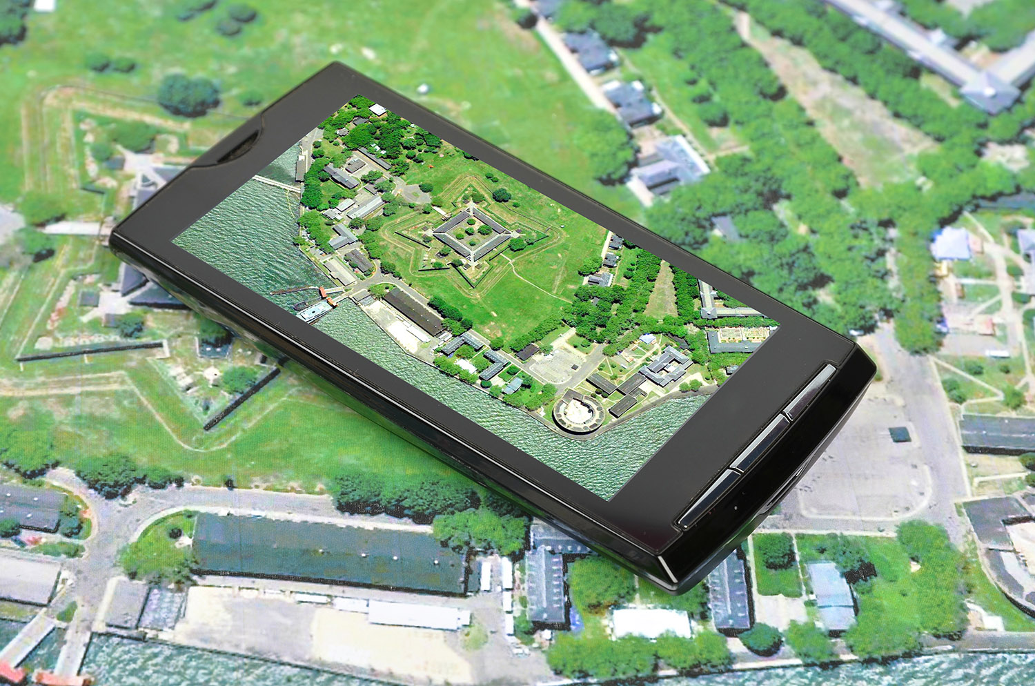
Just like topographic maps, manmade and natural features can be identified on aerial images. Aerial images show texture, shadow and patterns only. They do not usually include names of landmarks, roads or settlements, or information about elevation.
Landforms
Shadows help to identify elevation and relief on aerial photos. Shadows that fall outwards indicate higher elevations such as hills or mountains, whereas shadows that fall inwards indicated riverbeds, creeks and gullies. The rate of shadow appearance and disappearance along a ridgeline can determine the slope and steepness of features.
Water courses
Rivers are wide dark grey lines with many curves and bends in them. Side creeks flow into them. The v-shape of the connection between a side creek and the main creek always points downstream. Hence the reader can determine flow direction.
The colour of clear and muddy water bodies is different due to different amounts of reflected sunlight. Since clear water reflects less sunlight than muddy water, muddy water appears lighter in colour. Sandy soil also looks lighter than humid soil surfaces.
Aerial images can also give an indication of whether a water source is perennial or non-perennial, helpful when planning water sources on a walk.
Vegetation
Natural vegetation and grasslands usually have dark tints and a diverse pattern. Crops or plantations are identified by their unnaturally straight pattern of growth and patchwork appearance of cultivated lands. Tall crops appear darker in colour than small crops. Cultivated vegetation usually has a smooth, fine appearance, whereas natural bushland is dotted, and mountainous areas rough.
Constructed
Manmade objects tend to be evenly distributed with straight edges. Broad grey lines with few bends in them are major bitumen roads. Secondary roads are generally narrower with more curves. Fire trails may have a brown/orange/red tinge to them depending on the soil and road surface. Railway lines are small grey lines with long, smooth curves. Roads connect up perpendicular to each other while railway lines gradually merge.

 Reading and interpreting
 Planning