< title
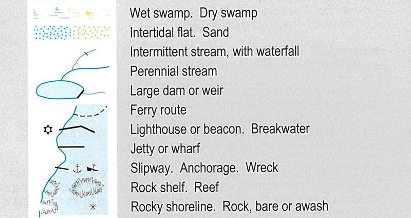
Shaded blue areas and blue lines identify hydrography or water features. These include lakes, swamps, rivers, and creeks as well as intertidal features and reefs. Maps can also include cultural features such as shipwrecks and patrolled beaches.
Topological maps do not distinguish between saltwater or freshwater systems, although common sense can mostly be used to figure this out: coastal water bodies are likely to salt-water, inland creeks are likely to be freshwater.

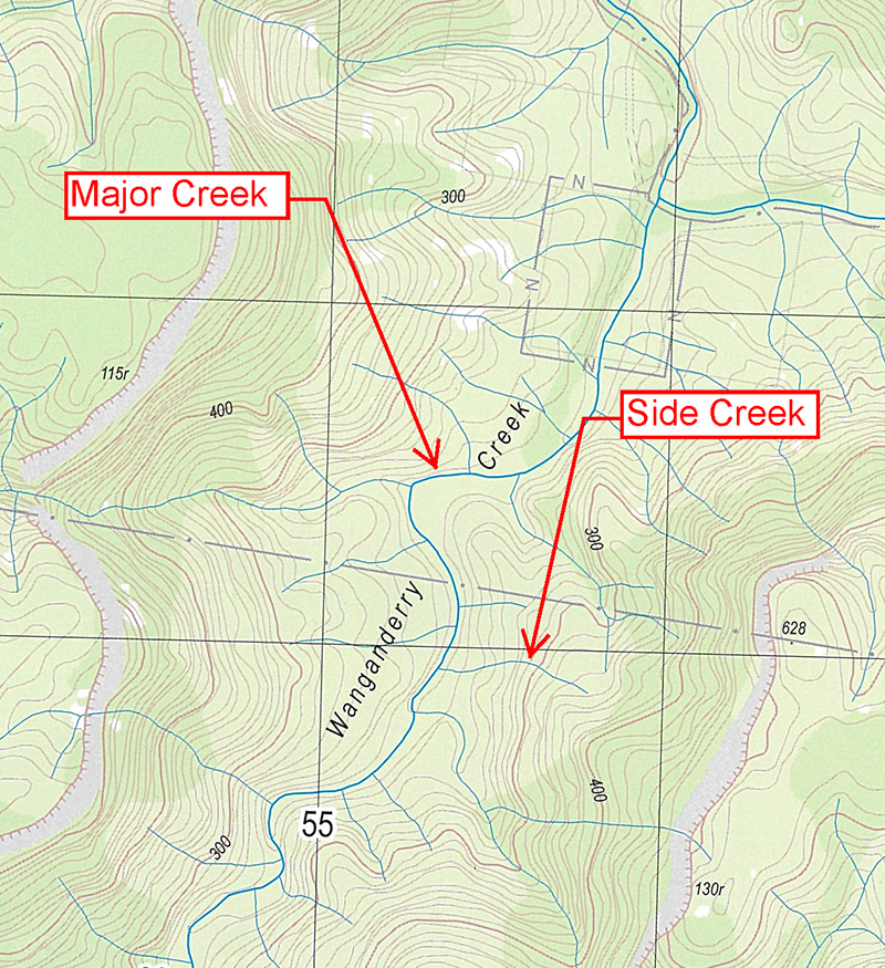
 Major Rivers
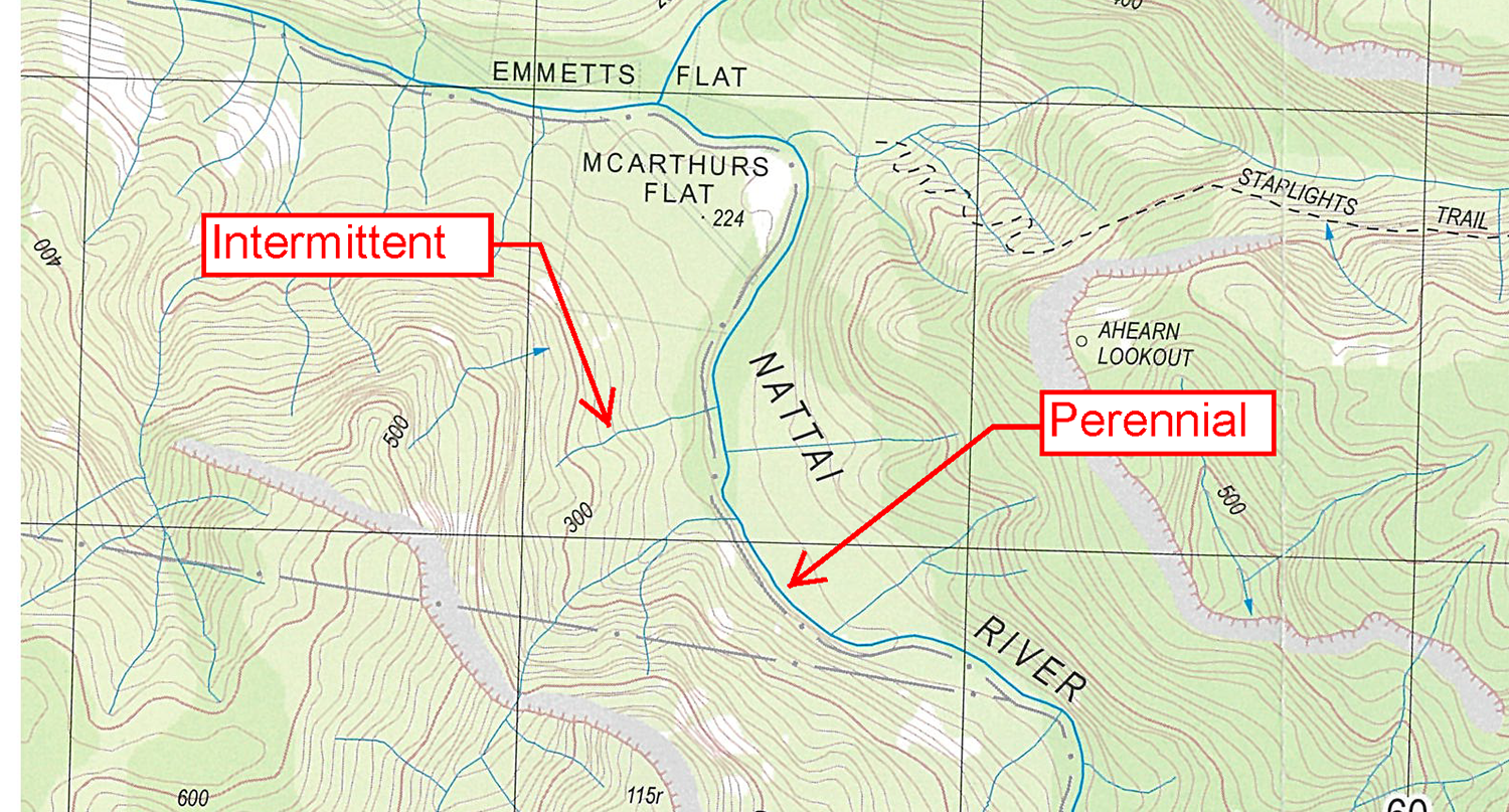
 Perennial versus permanent water sources