< title
Landform refers to the shape of the land, and is a function of elevation and relief, that is, the representation, as depicted by the mapmaker, of the shapes of hills, valleys, streams, or terrain features on the earth’s surface. Both elevation and relief allow users to recognise landforms.
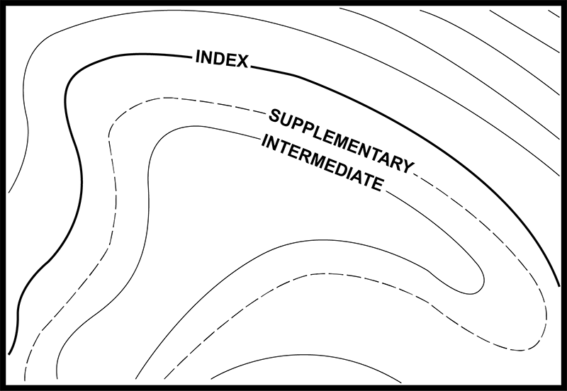
 Contours and intervals
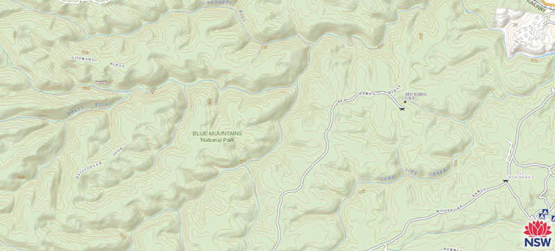
 Shading and tinting